Intro
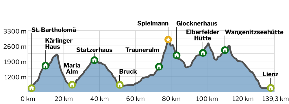
The Alpine Crossing Berchtesgaden – Lienz is divided into nine varied stages.
In this blogpost you will find a detailed description for each stage and photos. I will also provide links, so that you can view the GPS tracks through the komoot App (offline use possible!).
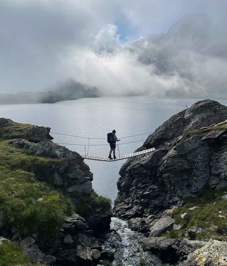
From the picturesque Königsee in the Berchtesgaden National Park, the route leads through the “Steinerne Meer” and the green Salzburg Slate Alps directly into the impressive “Hohe Tauern”. There, another highlight awaits you with the ascent of a three-thousand-meter peak. Passing the „Großglockner”, Austria’s highest peak, you will reach the idyllic and lonely „Schobergruppe”. After a last descent you can enjoy the southern flair in Lienz.
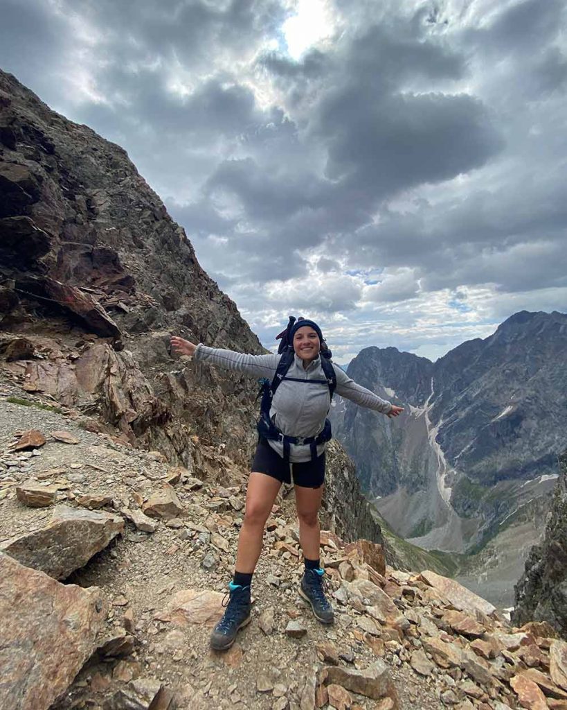
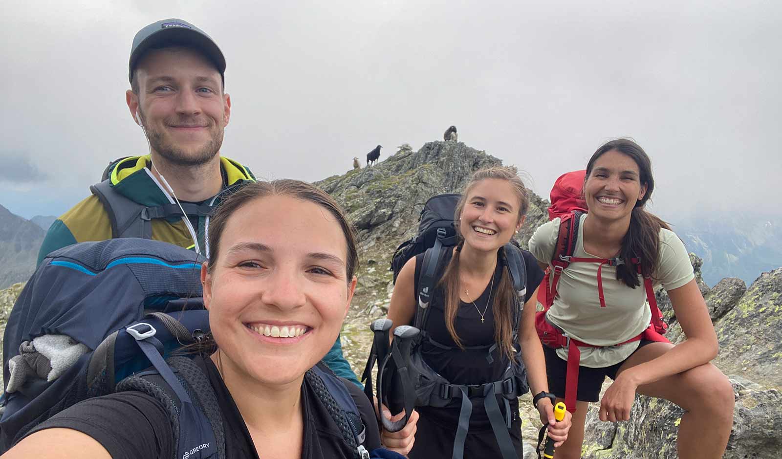
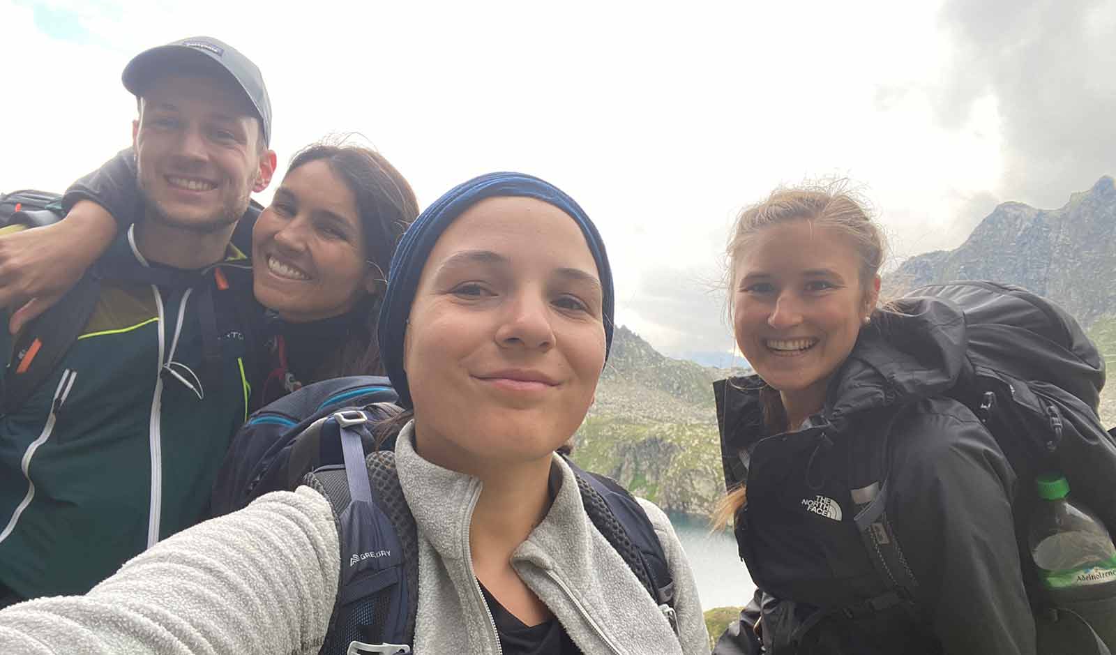
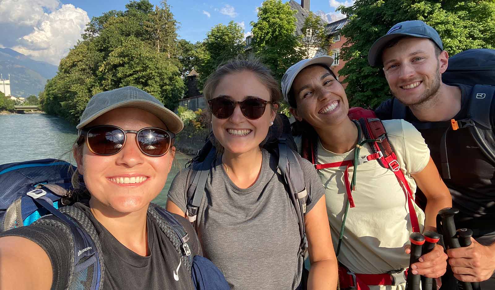
I went on this nine day hike with 3 good friends of mine. Since I have been doing long distance hikes in the past 2 years I was thinking about what to do this year. Living in Munich and being so close to the Alps made the decision pretty easy that I wanted to go on a multi-day hike in the Alps!
Have you become curious? Then take a look at the stages in detail.
Preparing for the hike
GEAR:
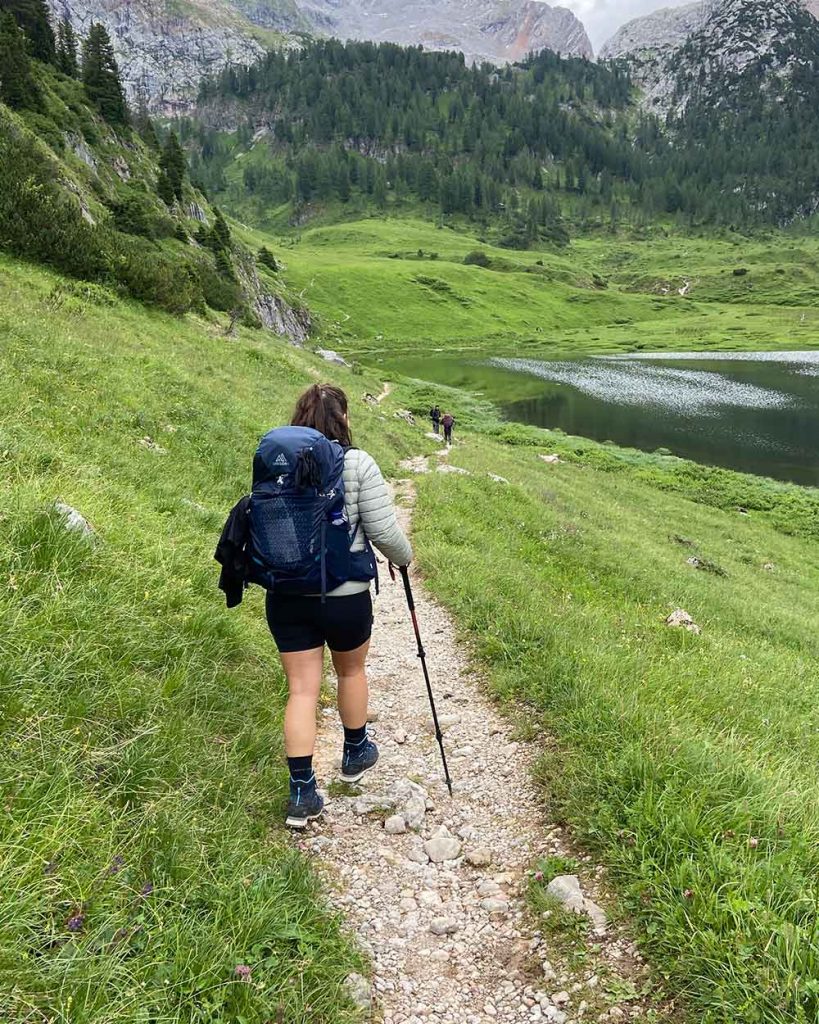
To be able to pull off this nine day hike, and because I’ve been doing some more hiking since I live in Munich, I wanted to step up my gear game and buy myself a new pair of hiking shoes and a backpack (since I never owned one myself in the needed size).
Shoes: Meindl Comfort Fit (A/B Category hiking shoes)
Backpack: GREGORY JADE 38 – Women Series in the color Blue Navy
Want to know what else I packed for the trip? You can download my packing list right here.
FITNESS:
I didn’t really do much more sports than I would normally do. At times the hike is challenging and required a certain level of fitness but I would still consider it a doable tour even if you’re not a fitness person but just want to enjoy nature and the landscapes (spoiler: they are breathtaking!)
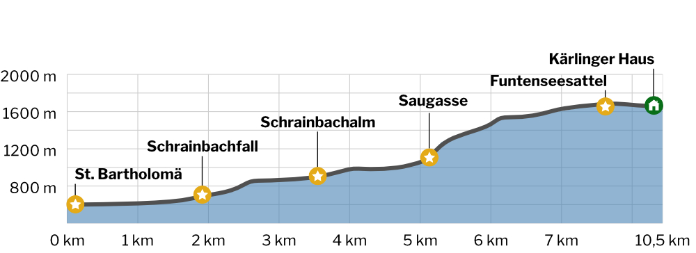
Stage 1 / Day 1: St. Bartholomä – Kärlinger Haus
Getting to our starting point from Munich and being able to hike 10.5km afterwards required to start the day very early. We took the train at 6AM from Munich eastern station to go to Königsee.
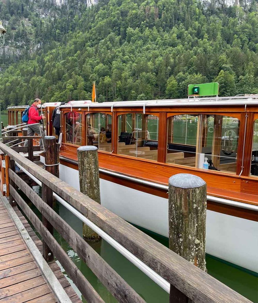
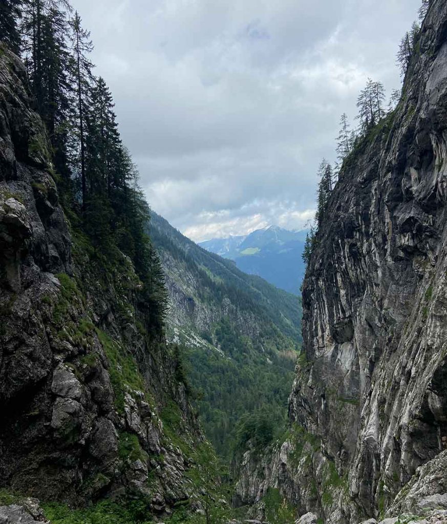
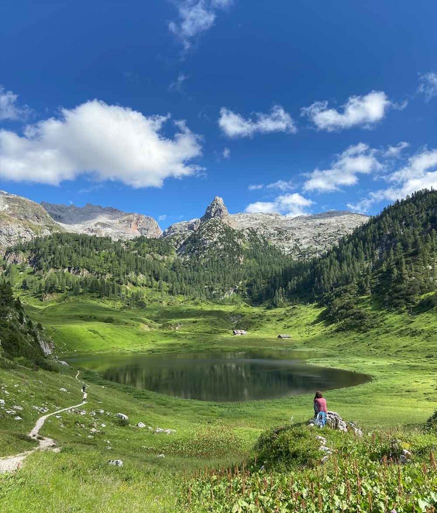
From there we took one of the electric boats across the green Königssee to the famous pilgrimage church of St. Bartholomä. After a steep ascent through the serpentine Saugasse we reached the idyllically situated Kärlinger Haus at Funtensee.
All in all I can say that the stage itself was not really hard but what really kicks in is the early wake up we had to do that day. After lunch break I was just so exhausted and tired that every little step felt like a huge effort but finally we made it to our first destination: the Kärlinger Haus.
As you can see, this hut is by no means cheap. They basically made you pay for every service such as charging your phone (2€ for 30 minutes) or a shower (no matter if hot or cold: 7€ for 3 minutes) etc. Many people were a bit shocked by that and trust me the price value ratio will get better within the next 8 days.
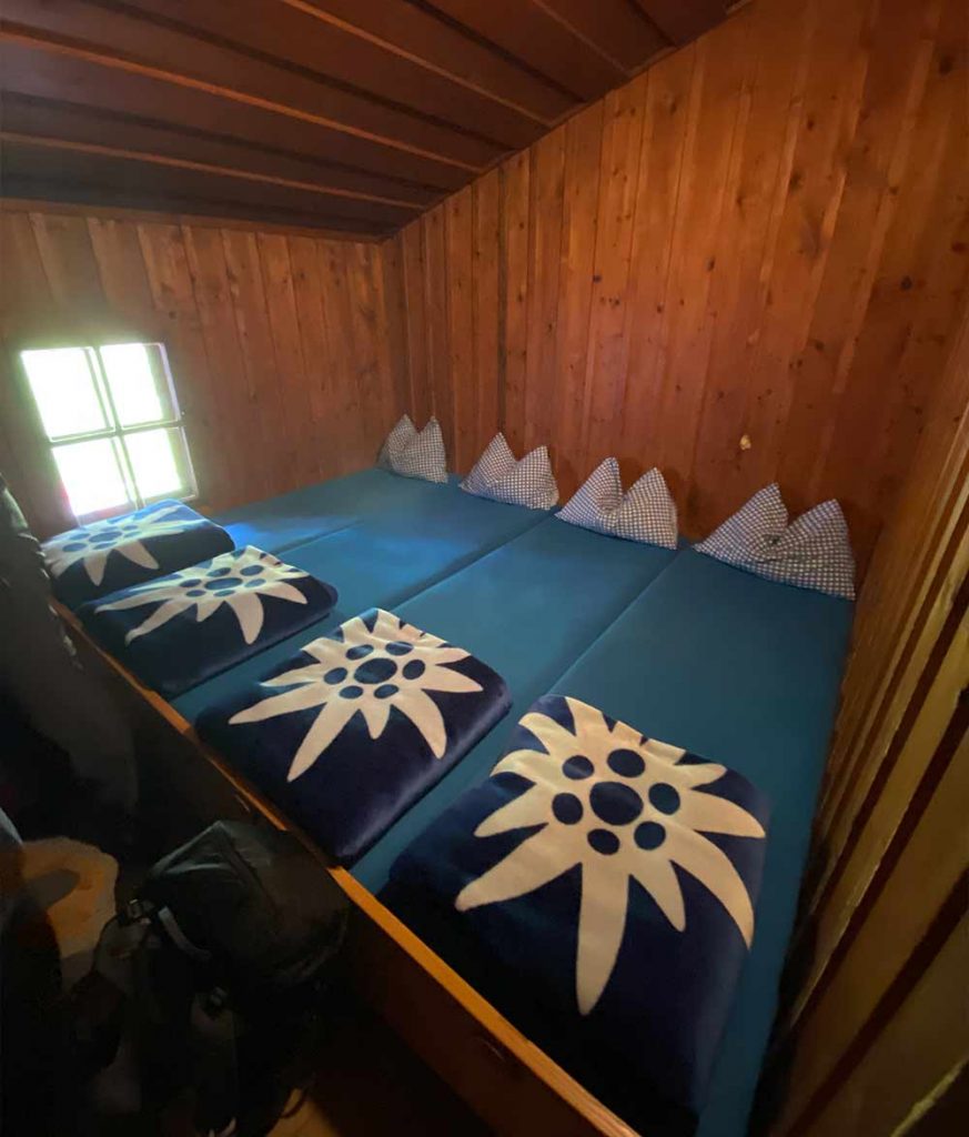
All in all the hut was nice and we had a seperate room for the 4 of us. I generally found traveling with 4 people very practical because often times you will get the “family” rooms and will be able to have a seperate space which is worth a lot when doing a trip like this.
Summary
- 1200 m
- 50 m
- 10,5 km
- 4:40 h
Train Munich - Königsee
9€ Ticket within Germany
Bus within Austria
Ferry from Königsee to St. Bartholomä
Food @Kärlinger Haus
Drinks, meal and desert
Sleeping @Kärlinger Haus
Excluding breakfast



Stage 2 / Day 2: Kärlinger Haus – Maria Alm
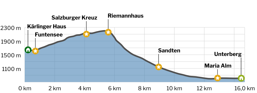
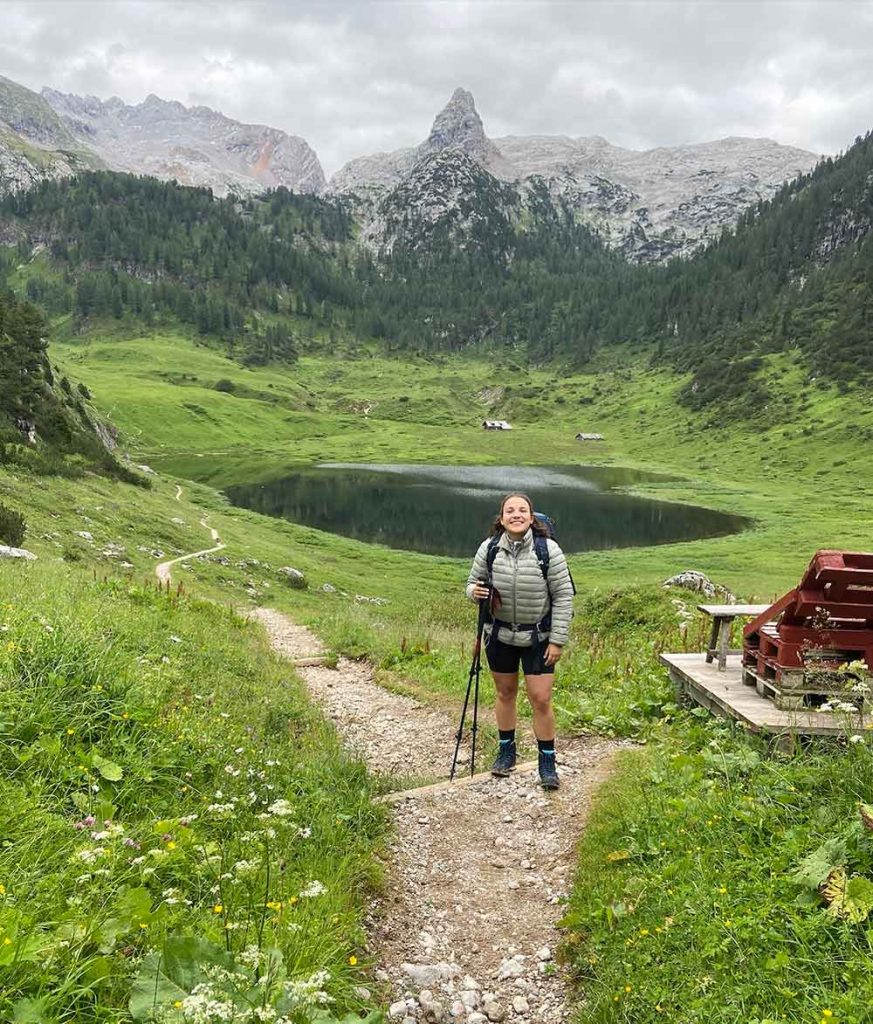
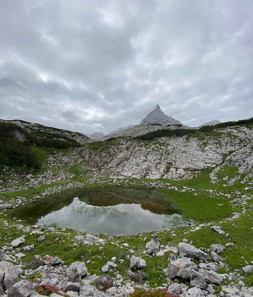
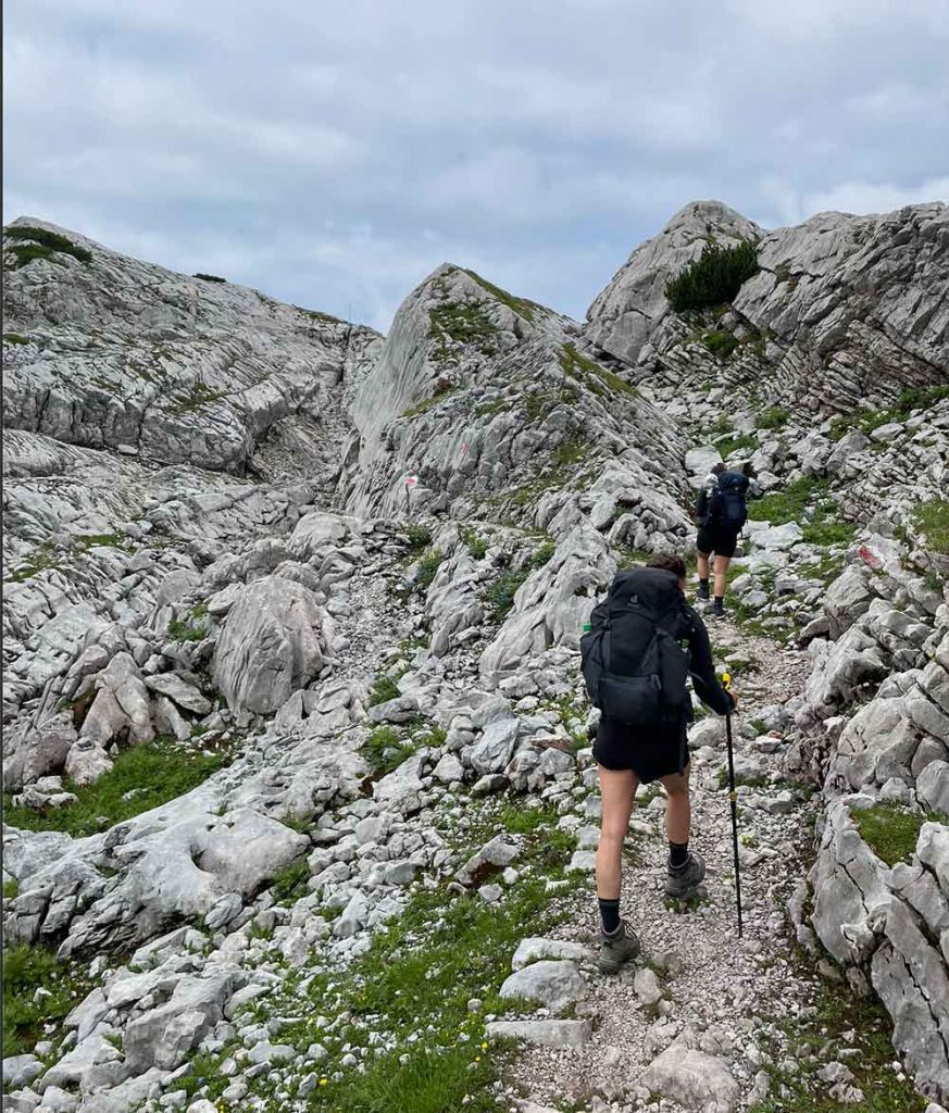
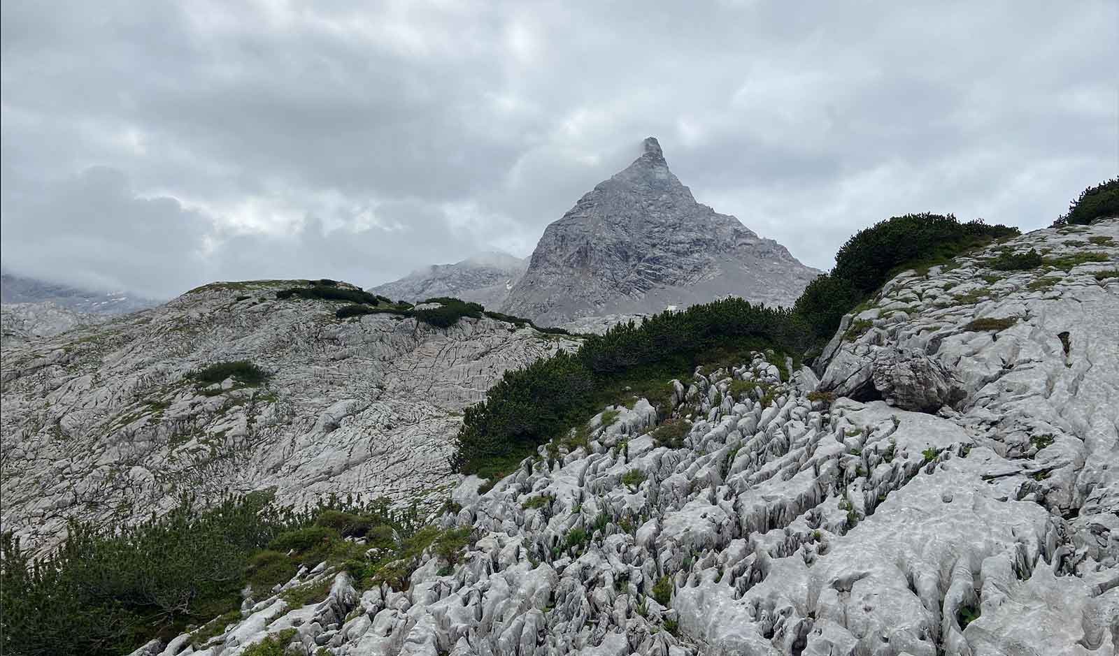
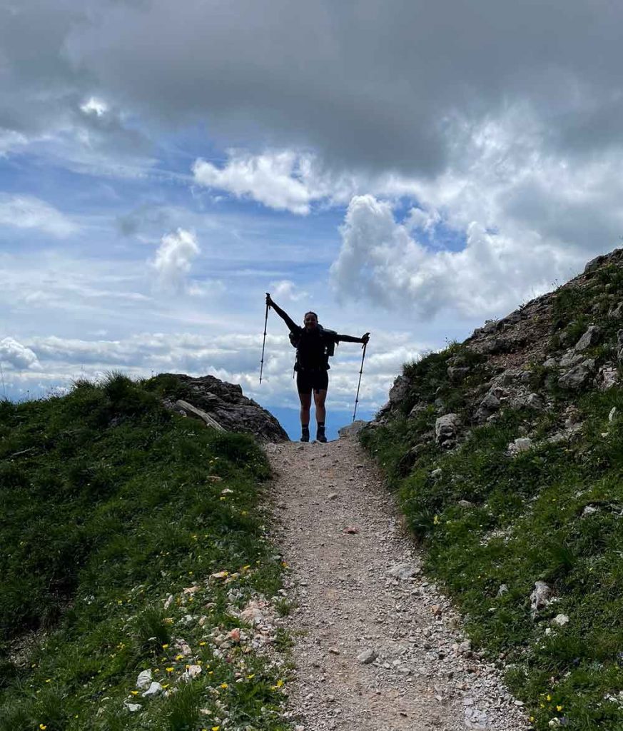
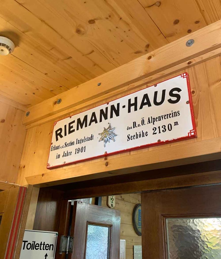
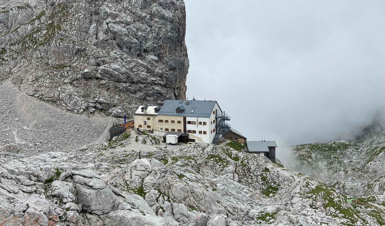
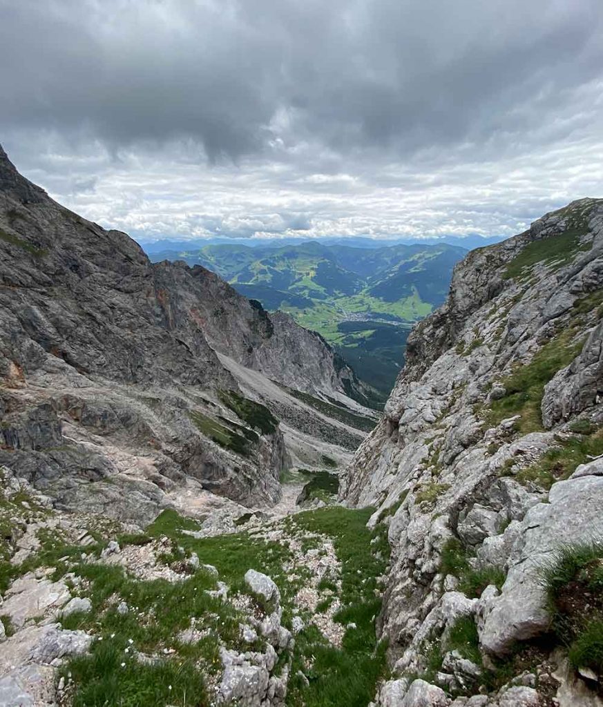
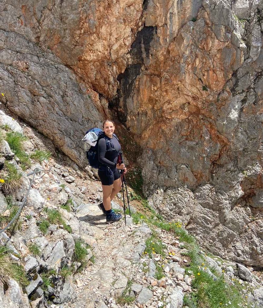
Stage two lead us from the Kärlinger Haus briefly down to Germany’s coldest place, the Funtensee. From there we hike gently uphill through sparse forest and then through the impressive karst landscape of the “Steinernes Meer”. After a small refreshment on the panoramic terrace of the Riemann-Haus, the steep and long descent to Maria Alm awaited us. We then slept at the Gasthaus Schwaiger which is a cute and privately owned house with no dinner service (we then ordered pizza) but an amazing and affordable breakfast. Absolutely recommendable!
Summary
- 590 m
- 1400 m
- 16,0 km
- 5:35 h
Lunch at Riemann-Haus
Soup, Apfelstrudel
Sleeping @Maria Alm, Gasthaus Schwaiger
Inlcuding breakfast
Stage 3 / Day 3: Maria Alm – Statzerhaus
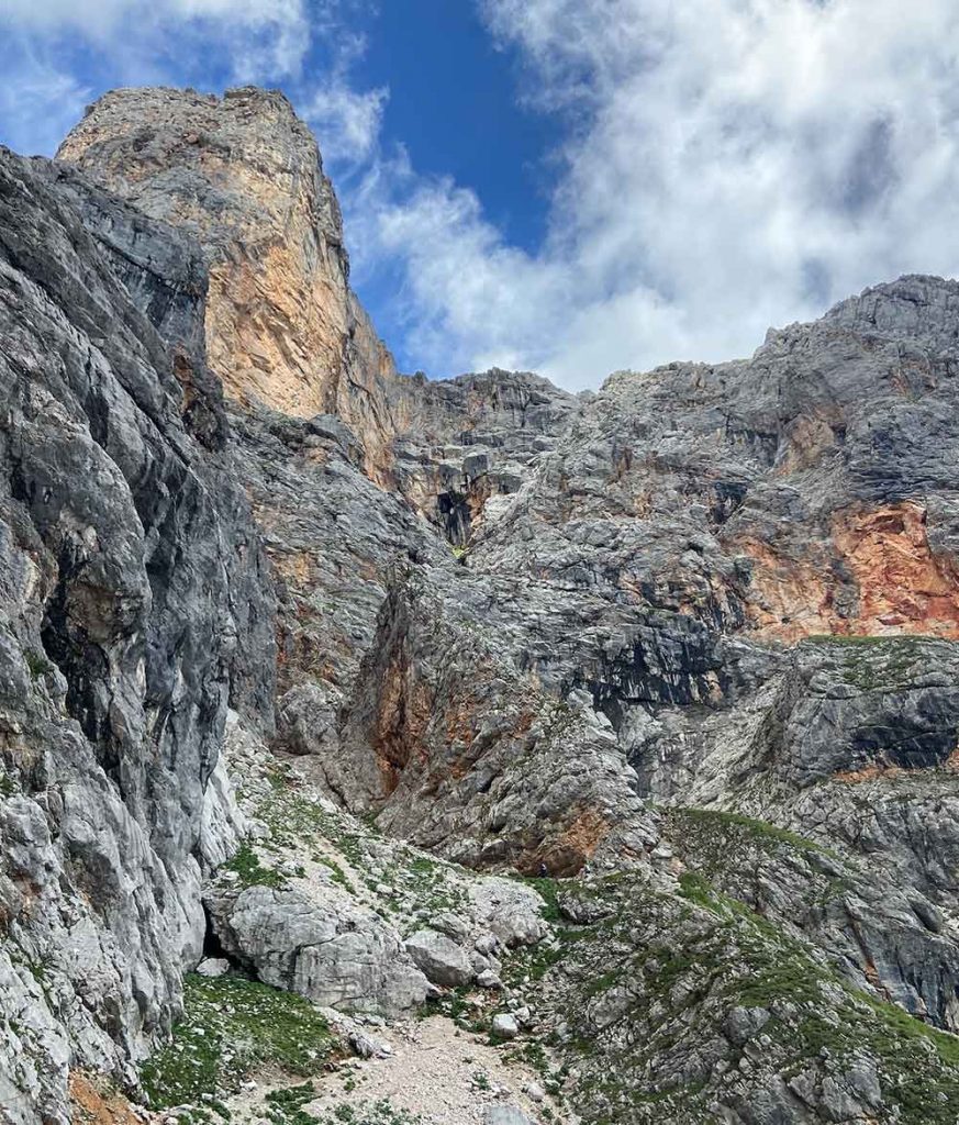
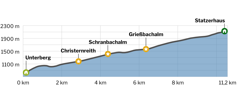
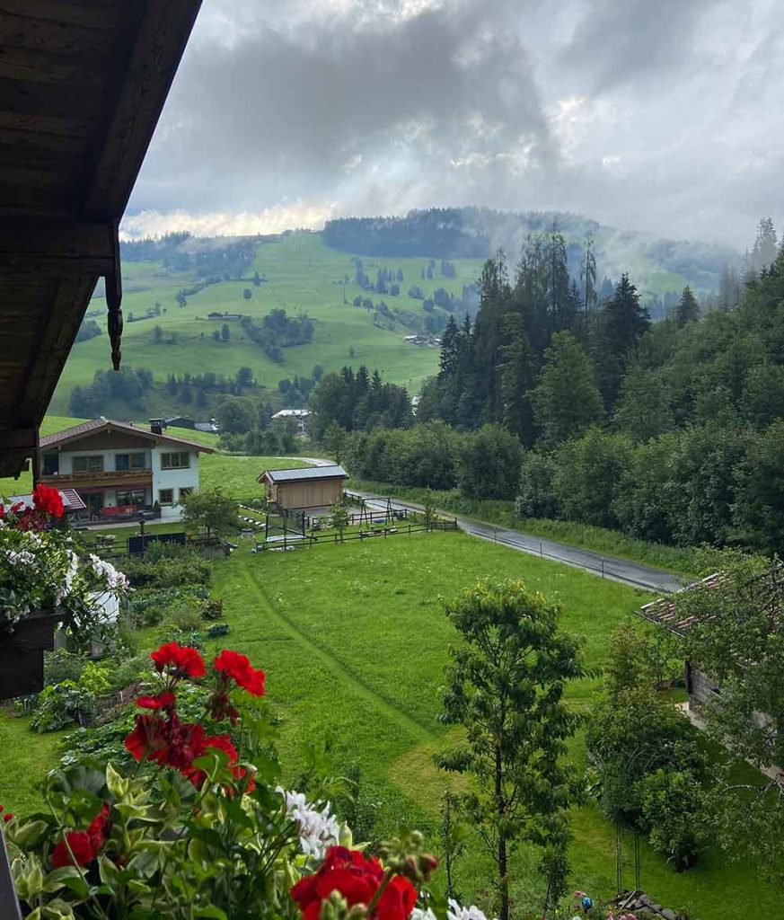
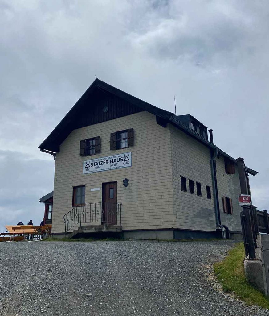
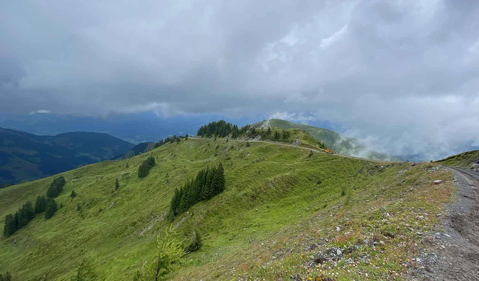
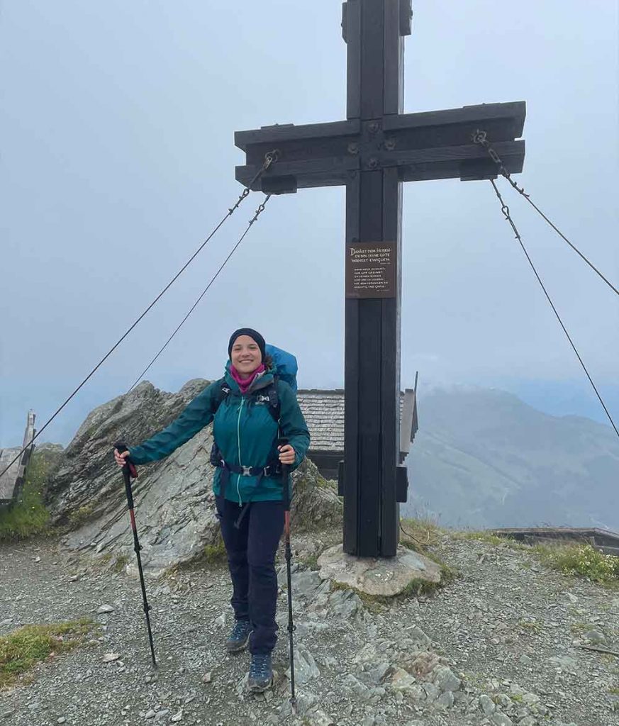
On the third day of our Alpine Crossing we hiked from Maria Alm across green alpine meadows up to the Hundstein, the highest mountain in the Salzburg Slate Alps. In good weather we were rewarded here with a nice view of the Hohe Tauern even though there was some rain here and there. Directly on the summit is the Statzerhaus, where we spent the night.
Summary
- 1320 m
- 11,2 km
- 4:25 h
Snackbreak @Grießbachalm
Sleeping @Statzerhaus
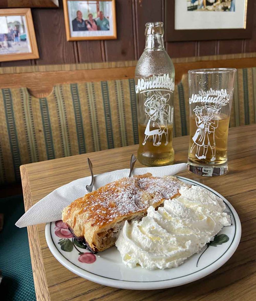
Breakfast @Statzerhaus
Stage 4 / Day 4: Statzerhaus – Bruck
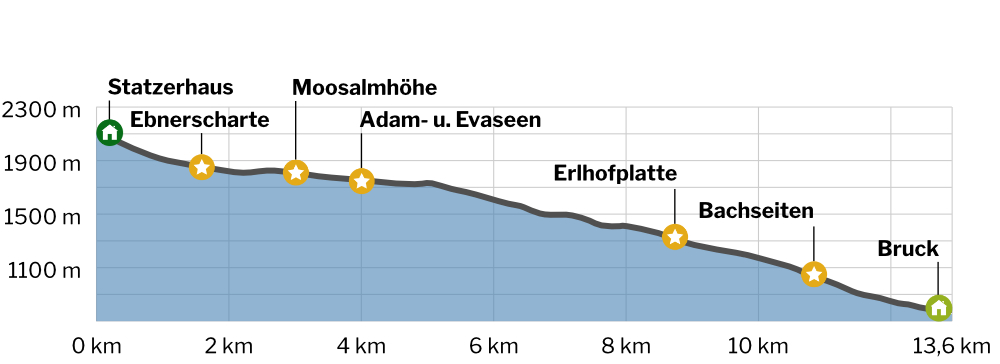
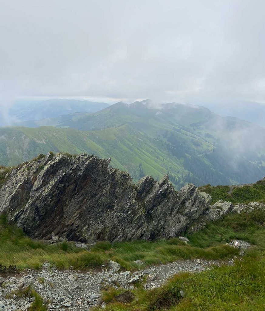
The fourth stage of the Alpine Crossing we went from the summit of the Hundstein on a scenic ridge down into the Pinzgau region. During the long descent we passed an idyllic high moor, where the deep blue Adam and Eva lakes invited us to take a break. Via wide forest paths and green meadows we finally descended to Bruck an der Großglocknerstraße.
In Bruck we have the possibility to fill up on snacks at a local supermarket and sleep in a comfortable hotel named “Jugendgästehaus Bruck”
Summary
- 1400 m
- 13,6 km
- 4:00 h
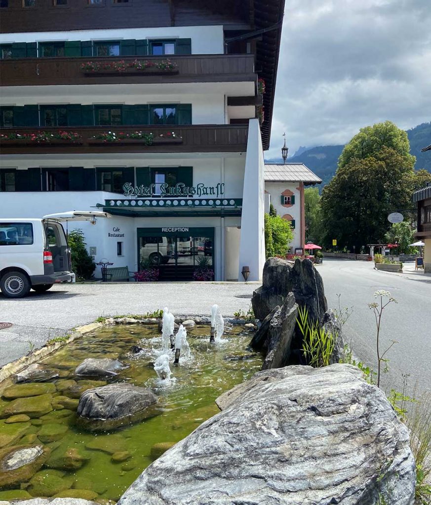
Sleeping @Pension Lukashansl
Supermarket in Bruck
Icecream in Bruck
Dinner in Bruck

Stage 5 / Day 5: Bruck – Trauneralm
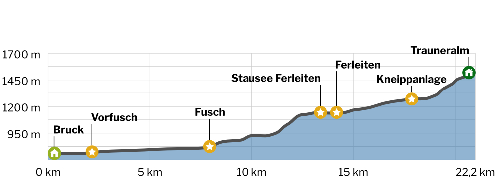
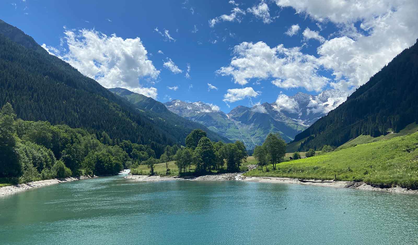
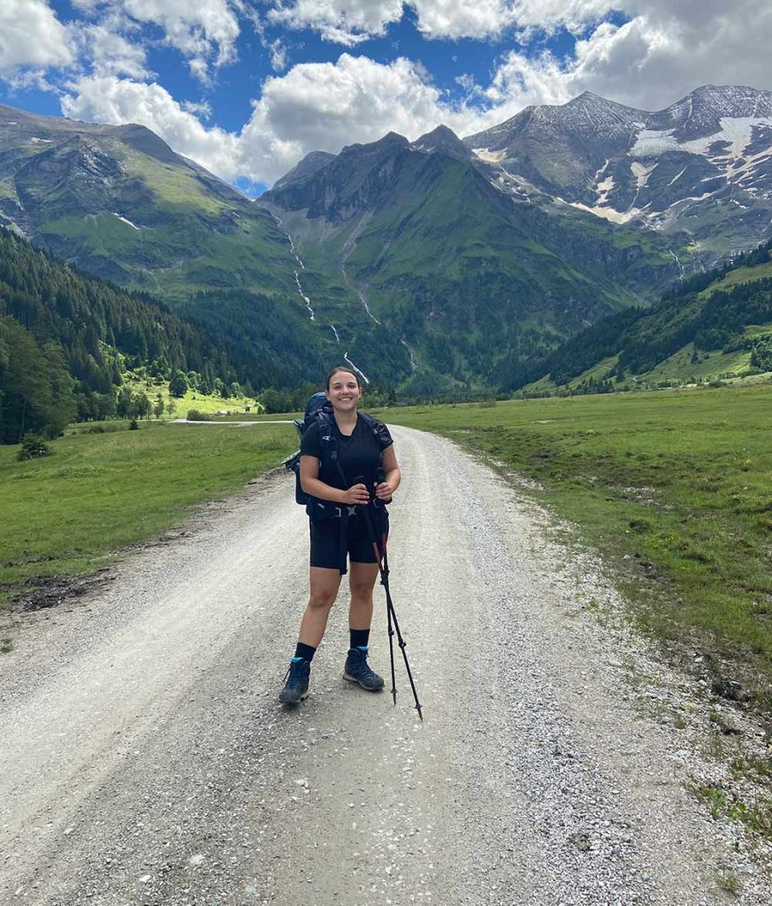
Half time on the alpine crossing Berchtesgaden – Lienz! On day five, we were about to cross the long Fuscher Valley. We forewent the bus from Bruck to Ferleiten and instead hiked along pleasant and often lonely paths into the valley.
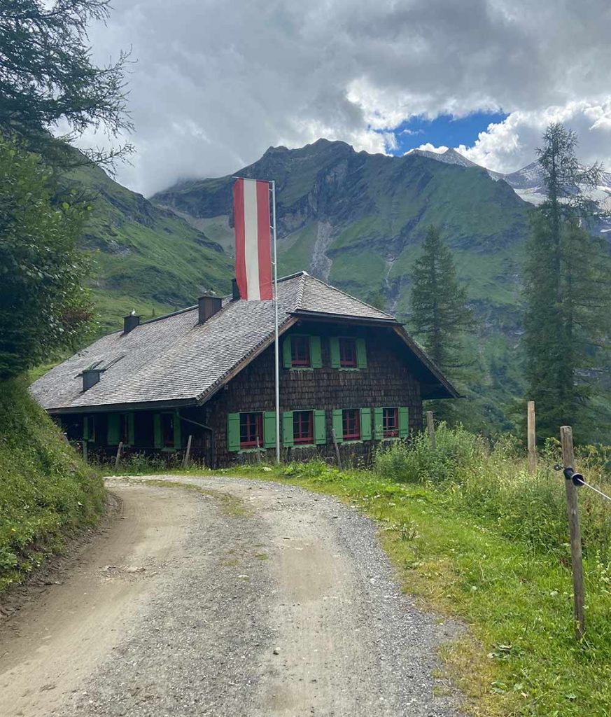
Along the river there were many horseflies that sting you better make sure you spray yourself in advance. Along the way there is a nice water playground where you can cool off for a while. After a final climb, the traditional Trauneralm awaited us at the end of the wild and romantic Käfertal.
Summary
- 860 m
- 22,2 km
- 6:30 h
Sleeping @Pension Lukashansl
Supermarket in Bruck
Stage 6 / Day 6: Trauneralm – Glocknerhaus
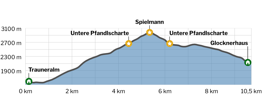
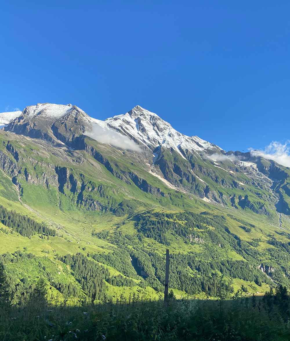
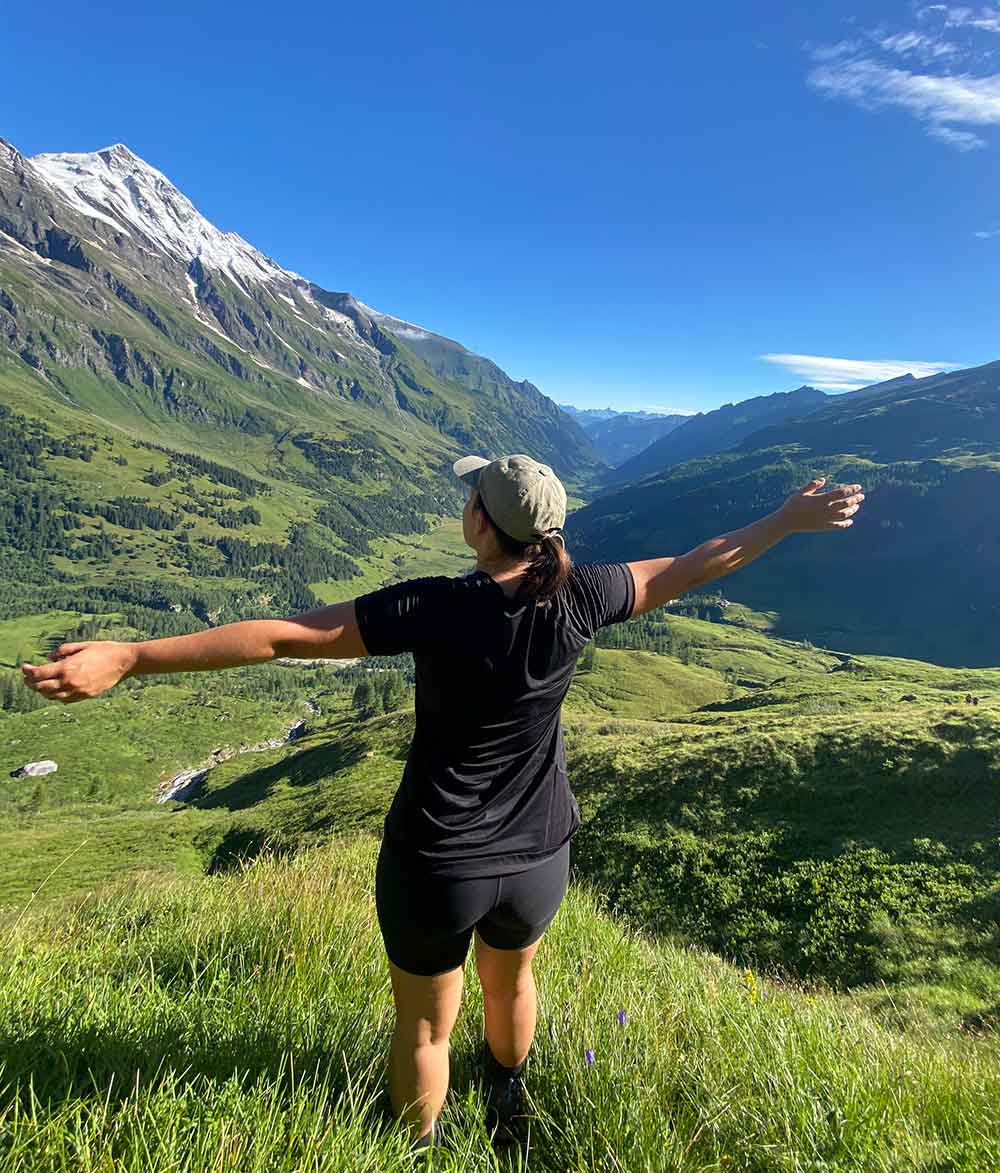
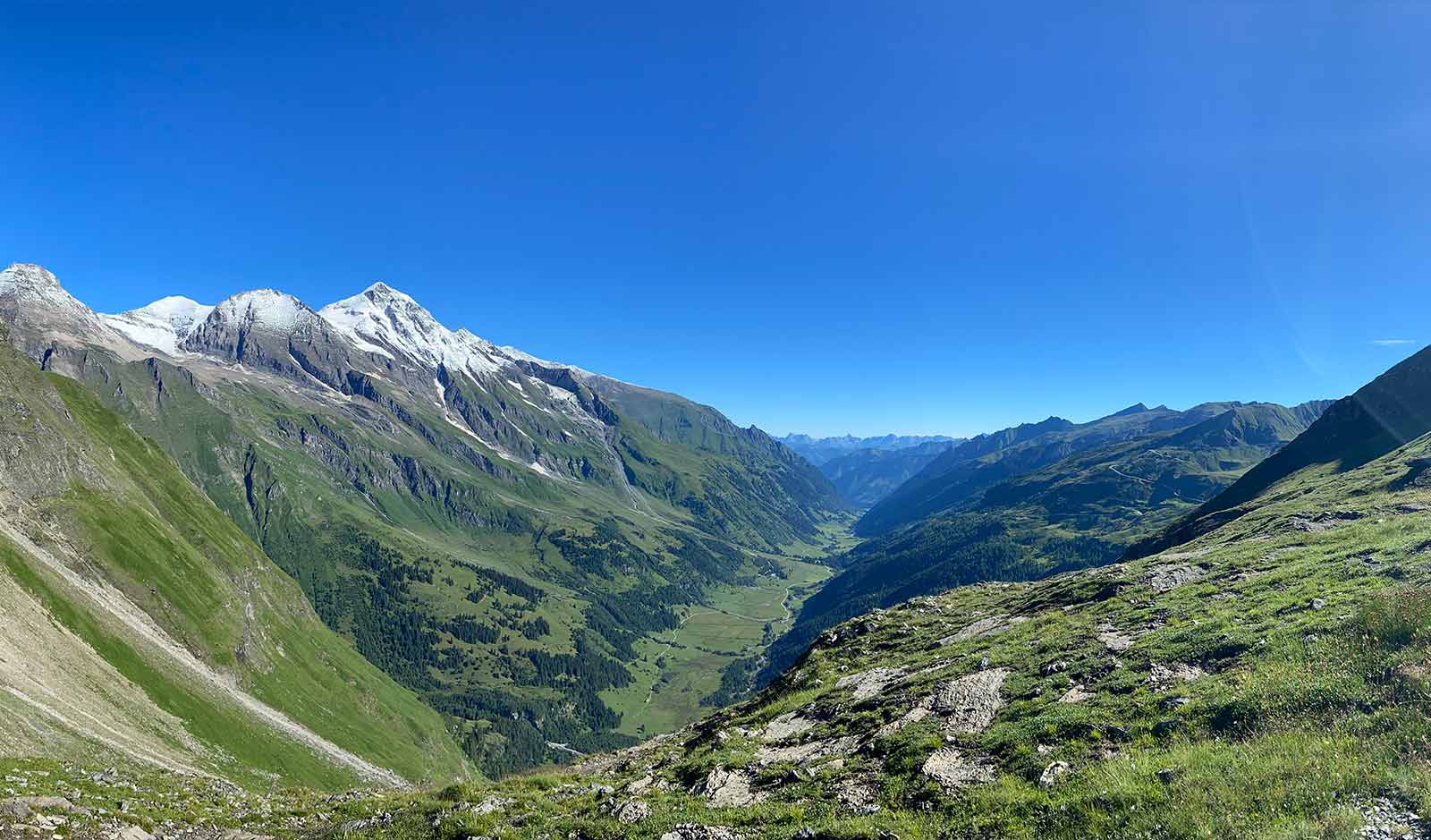
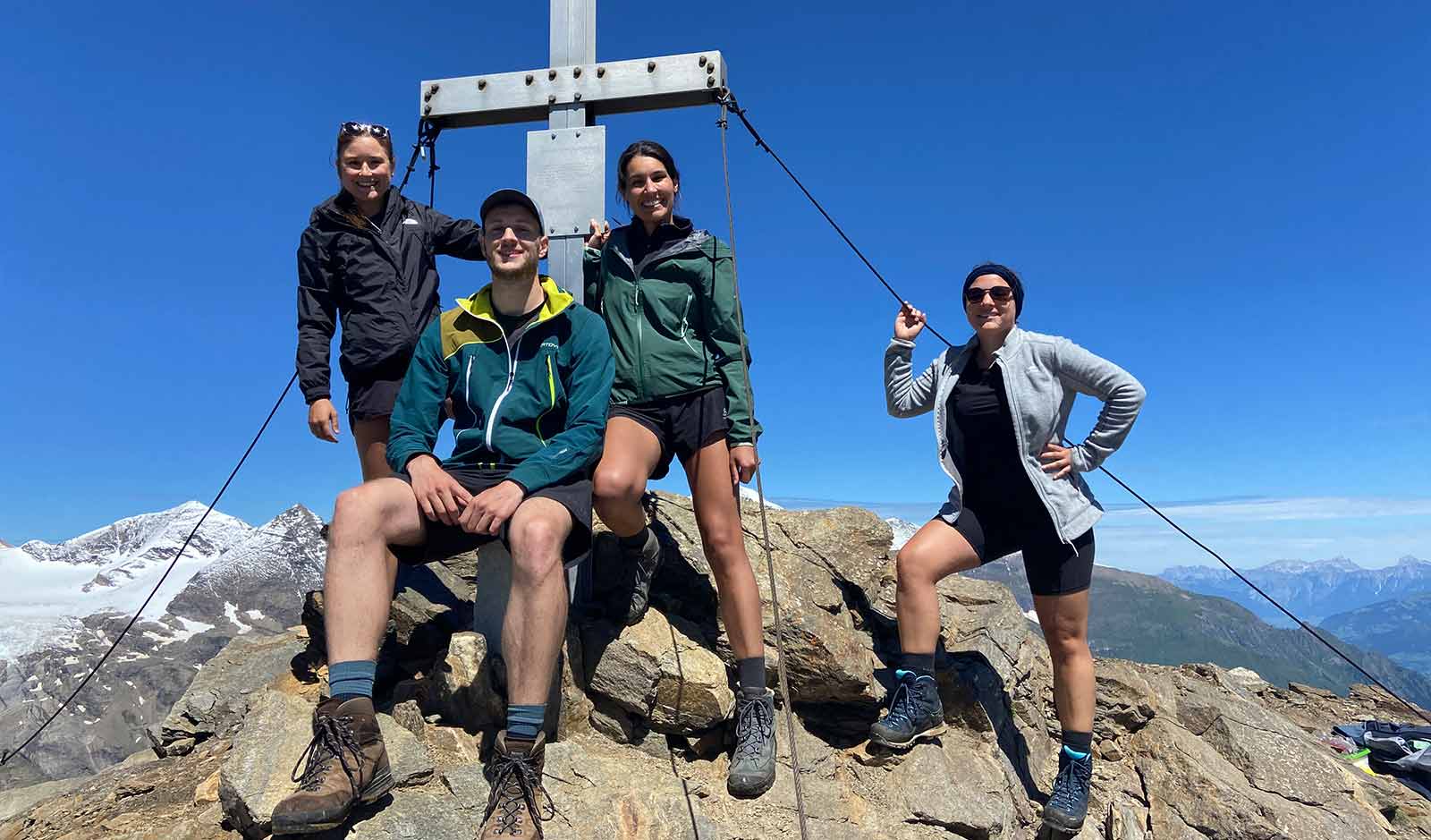
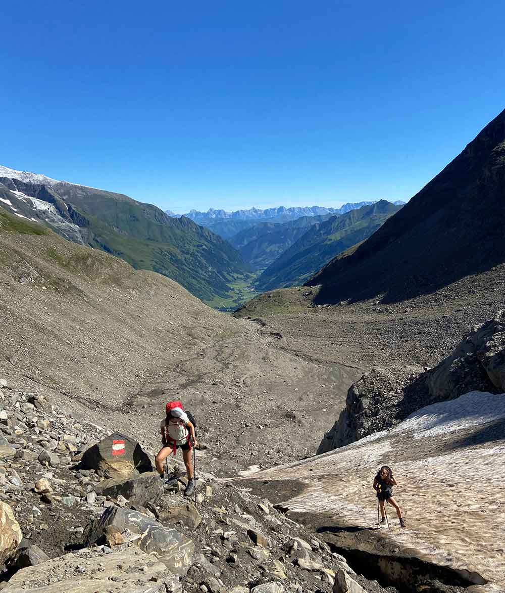
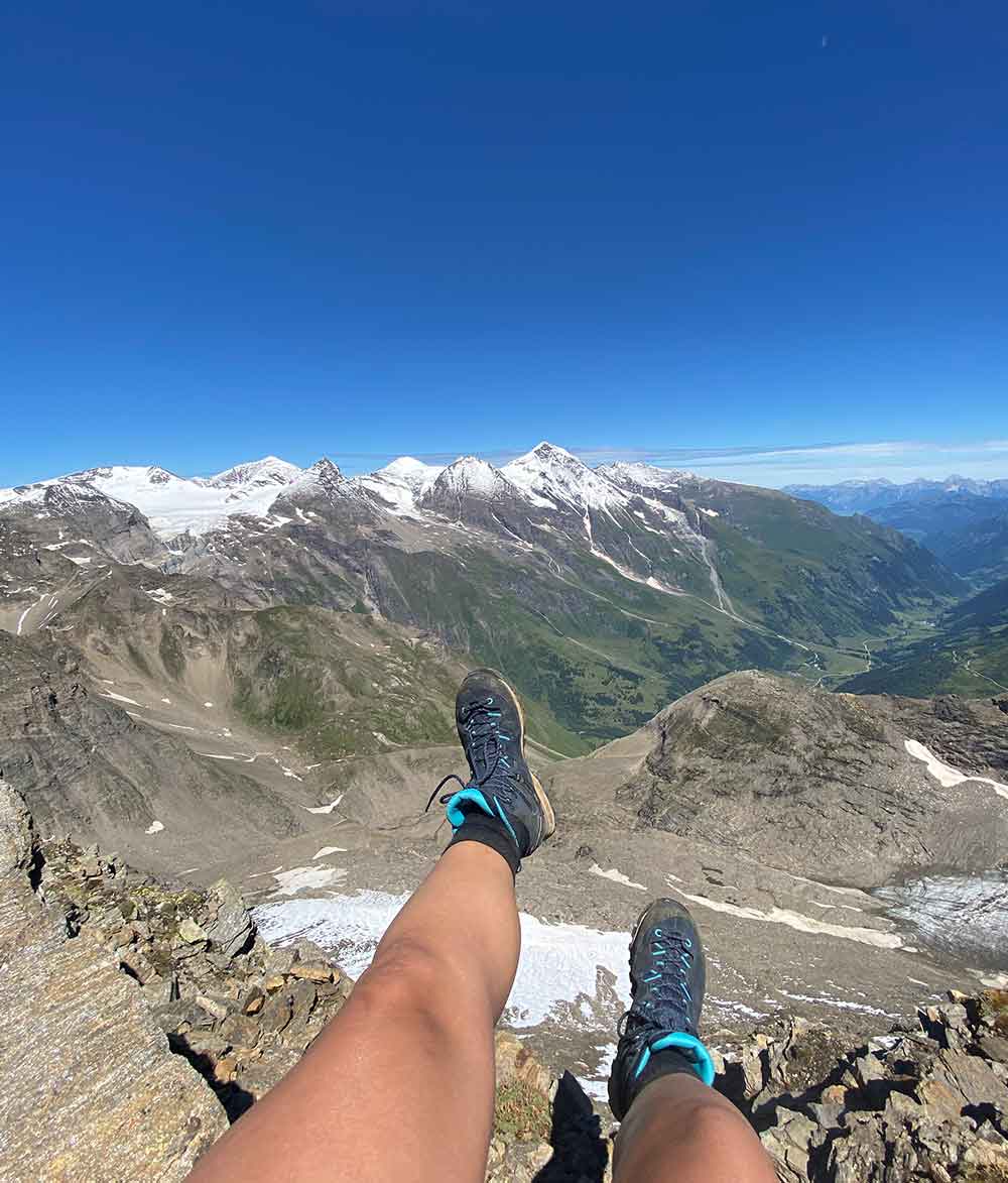
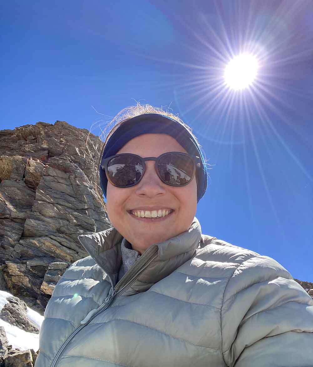
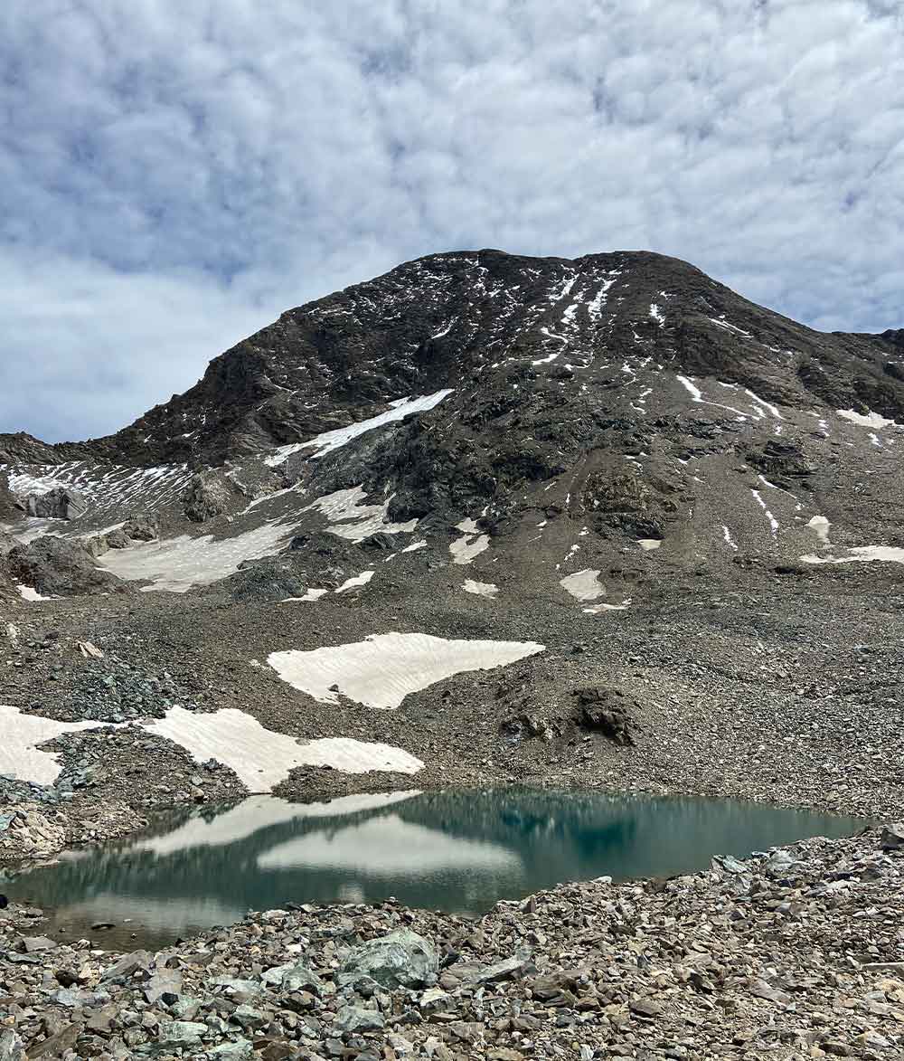
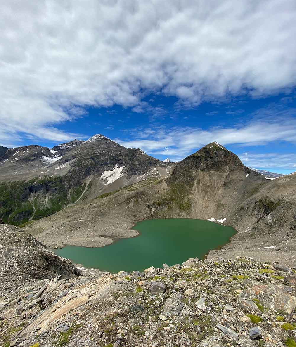
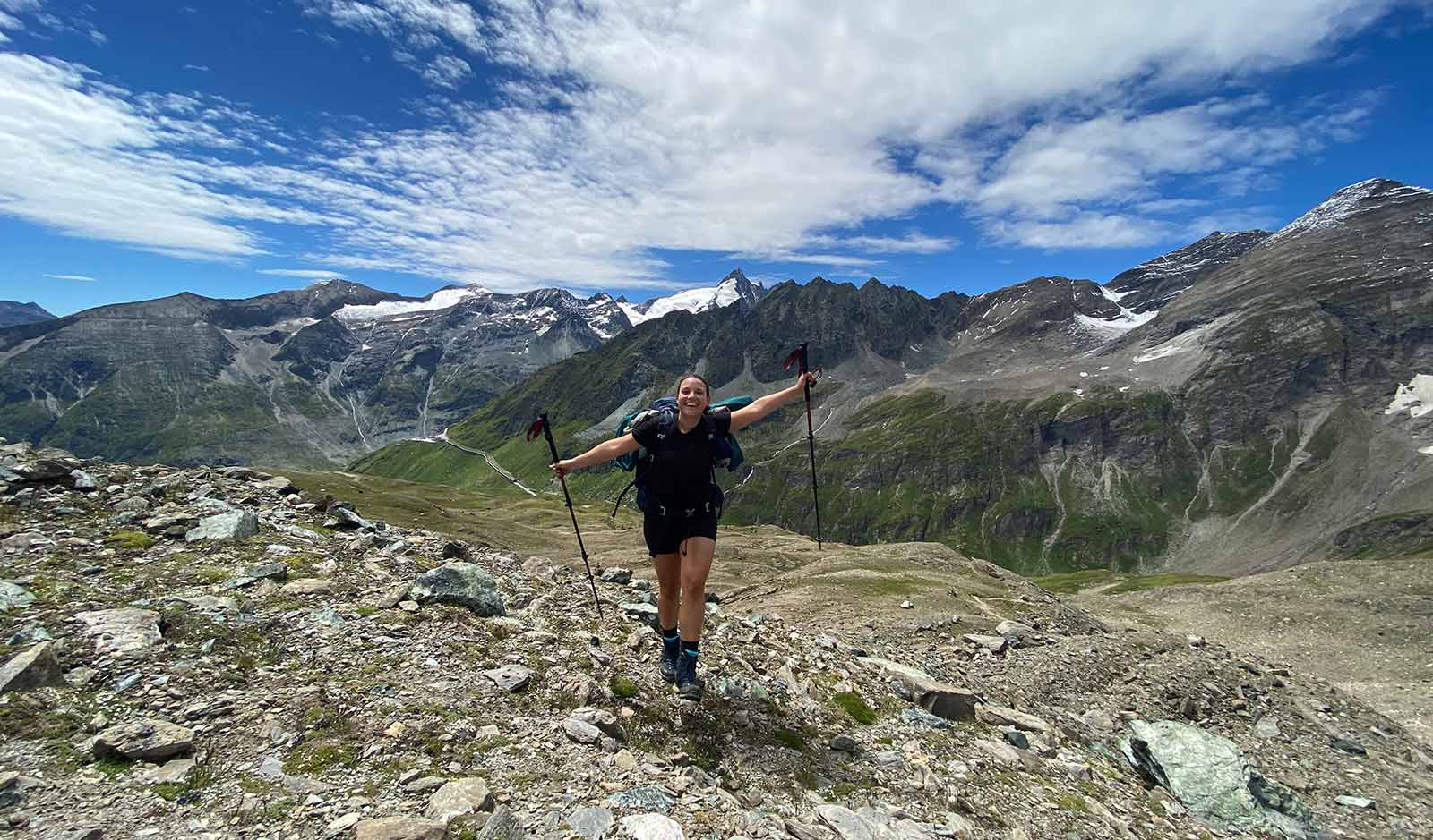
On the sixth day of the Alpine Crossing, a real highlight awaited us with the ascent of the 3027 m high Spielmann. Surrounded by the wonderful landscape of the Hohe Tauern National Park, we hiked past fields of old snow to the Untere Pfandlscharte. From there, a ridge lead us up to the Spielmann summit, where we were rewarded with a gigantic panoramic view. Over gentle meadow terrain we finally descended to the Glocknerhaus.
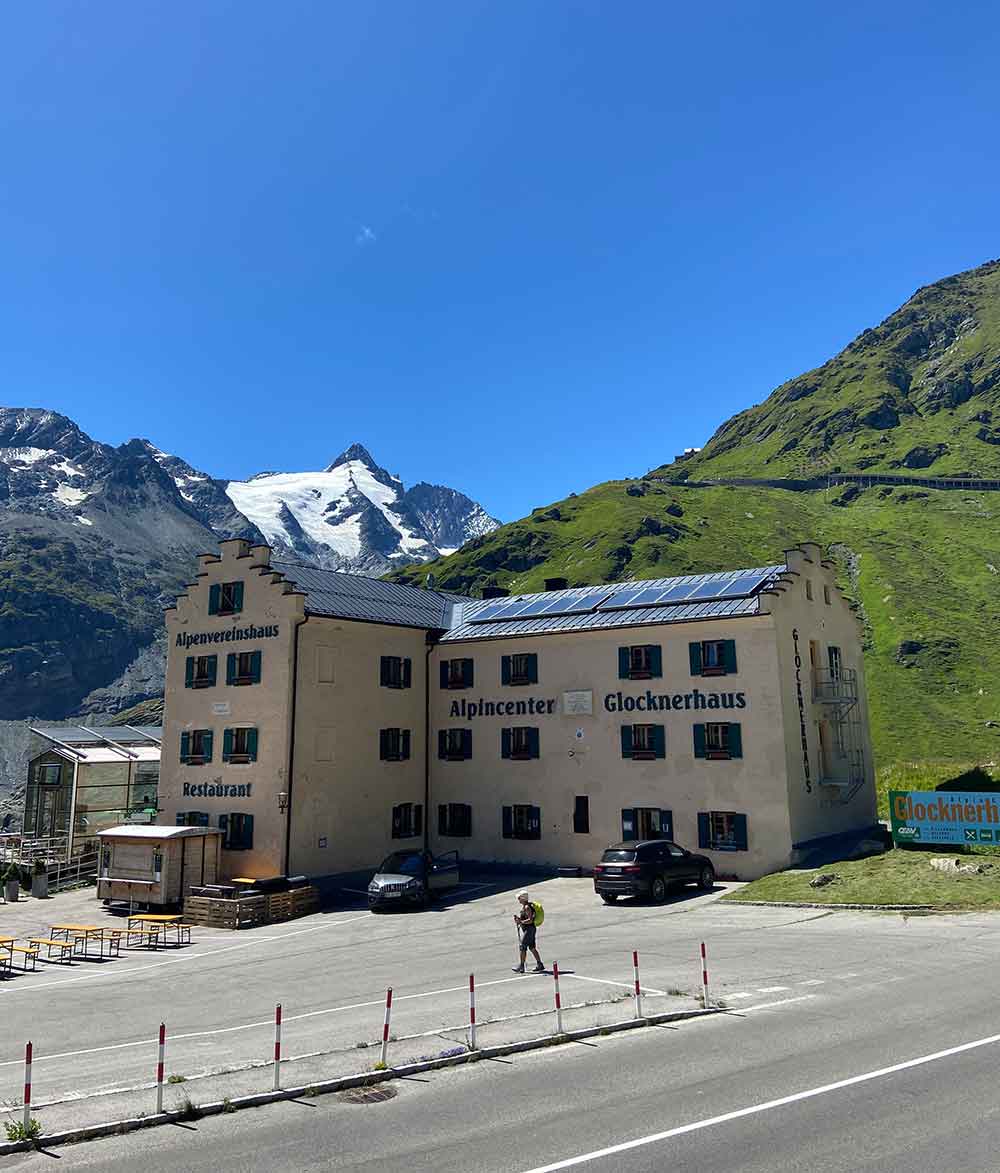
The Glocknerhaus is beautiful but expensive and you have to book half board, the mattress dormitories in which we slept are on the top floor and accordingly cold.
Summary
- 1520 m
- 980 m
- 10,5 km
- 5:35 h
Half board @ Glocknerhaus
Sleeping @ Glocknerhaus

Stage 7 / Day 7: Glocknerhaus – Elberfelder Hütte
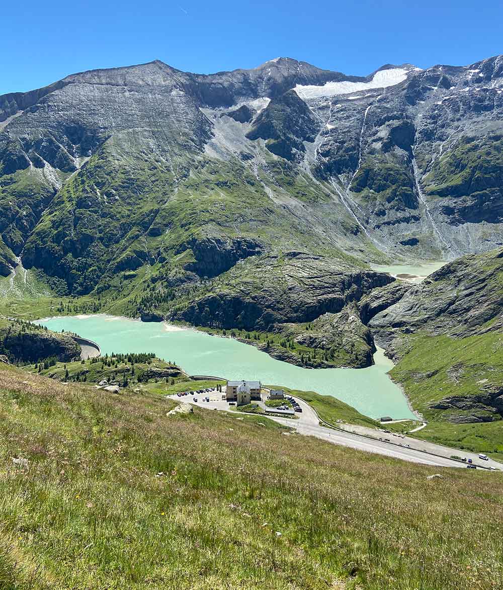
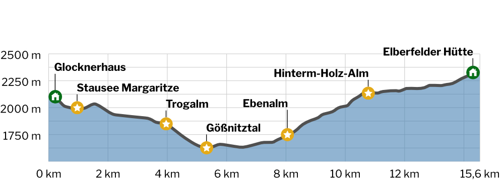
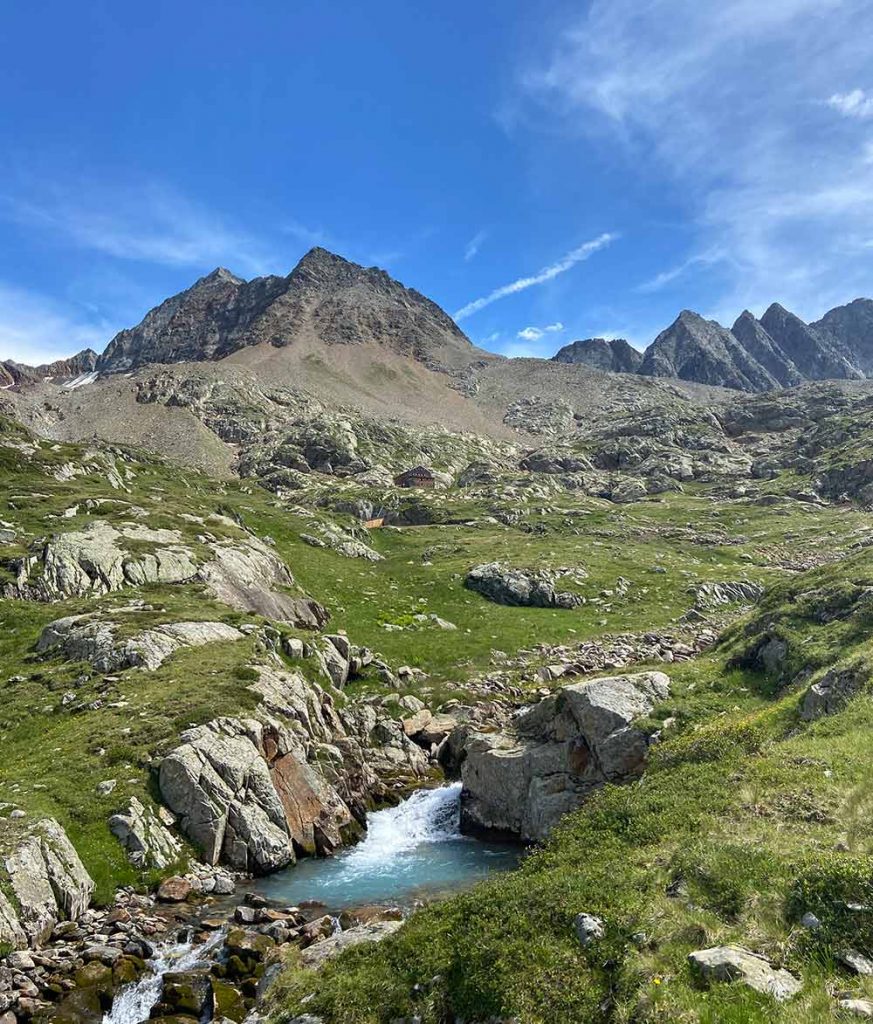
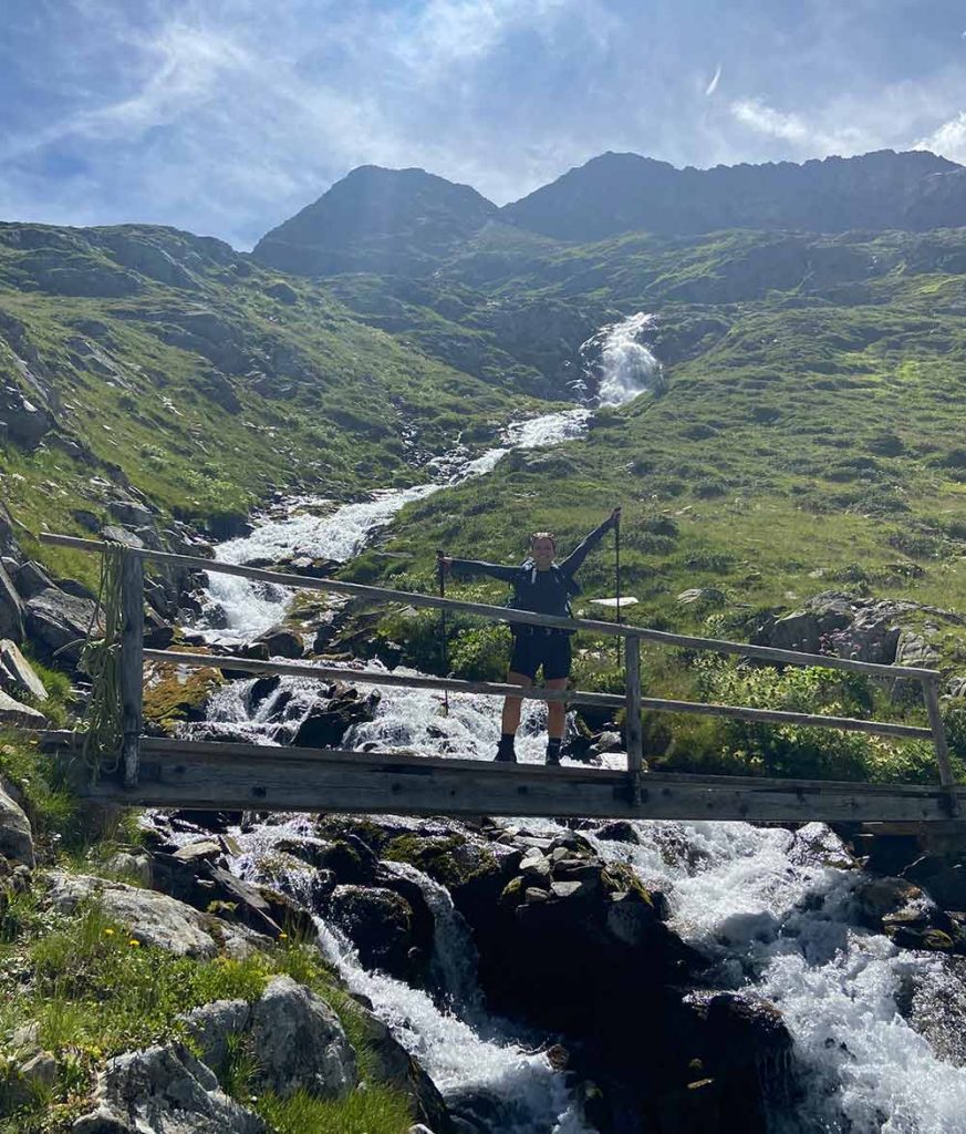
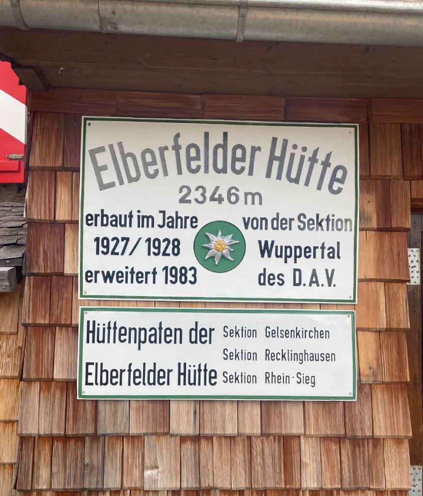
On the seventh stage of the Berchtesgaden – Lienz route we crossed one of the most pristine valleys in the Eastern Alps. From the Glocknerhaus we first descended to the turquoise-colored Margaritze reservoir. On a beautiful hiking trail we went slightly downhill through sparse forest before we turned into the lonely Gößnitztal. Until we reached the Elberfelder Hütte, we are in for a truly enjoyable hike in an unspoiled landscape.
Summary
- 770 m
- 580 m
- 15,6 km
- 5:50 h
Sleeping @Elberfelder Hütte
Breakfast @Elberfelder Hütte
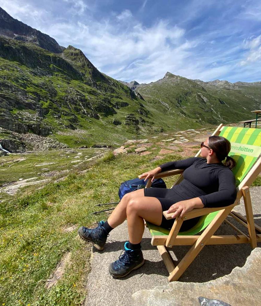
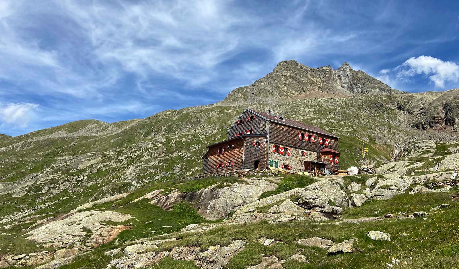
Stage 8 / Day 8: Elberfelder Hütte – Wangenitzseehütte
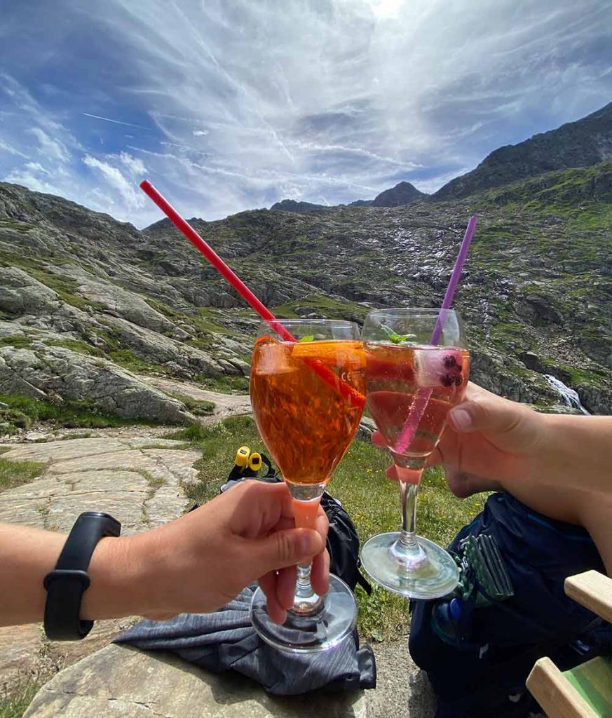
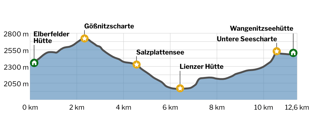
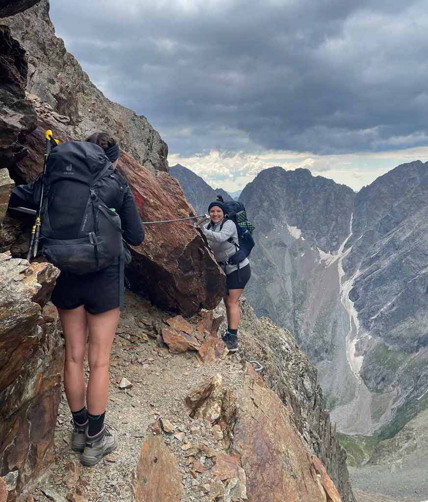
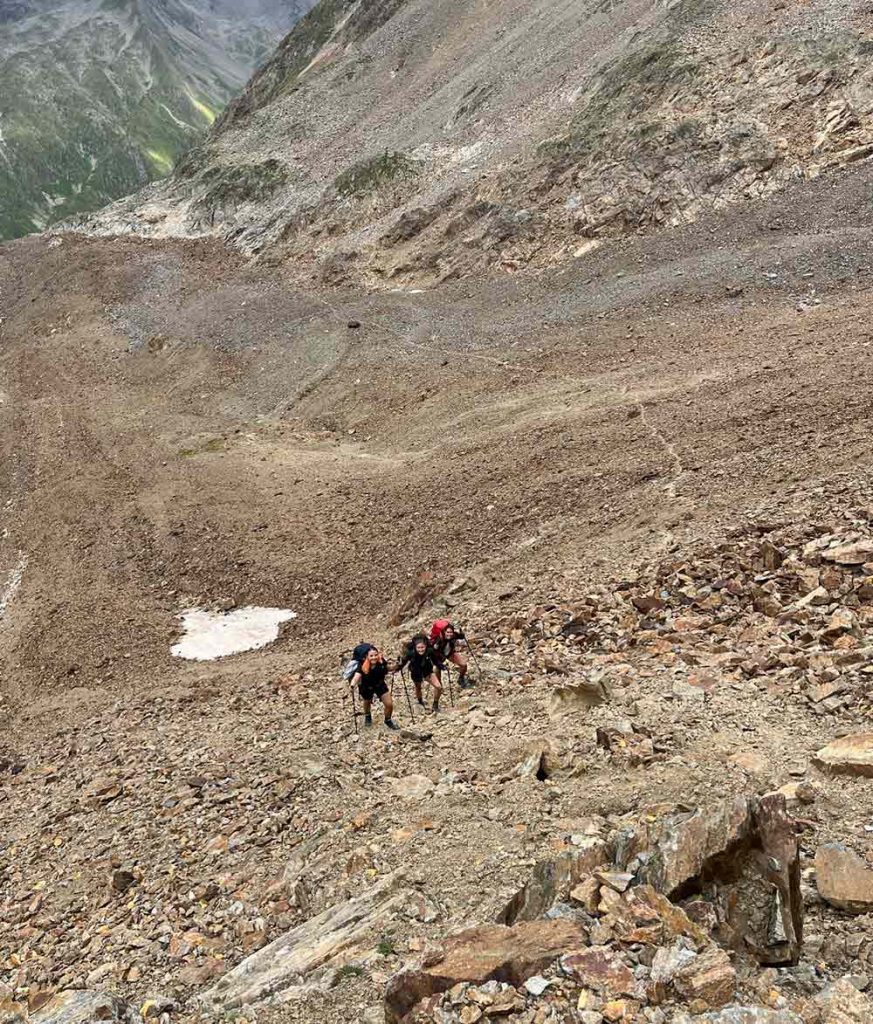
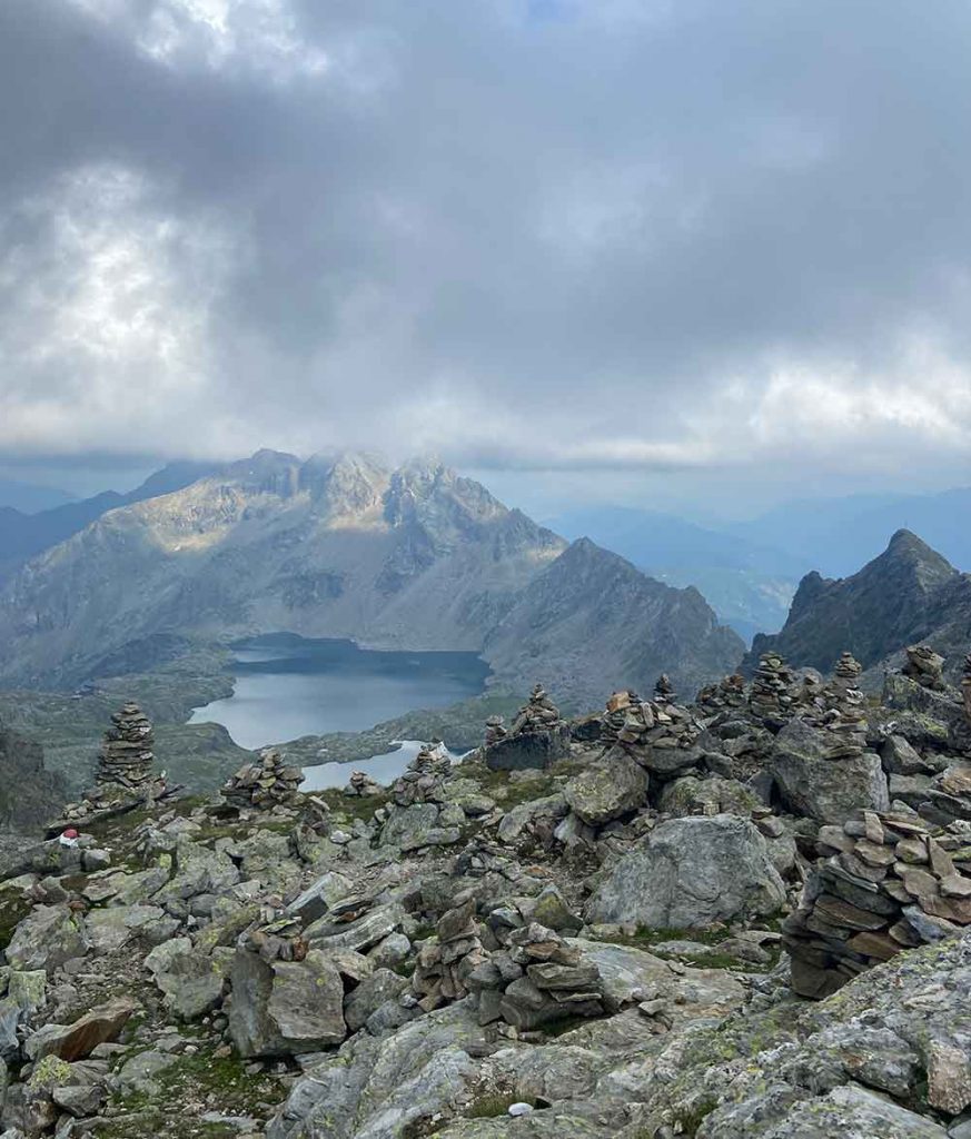
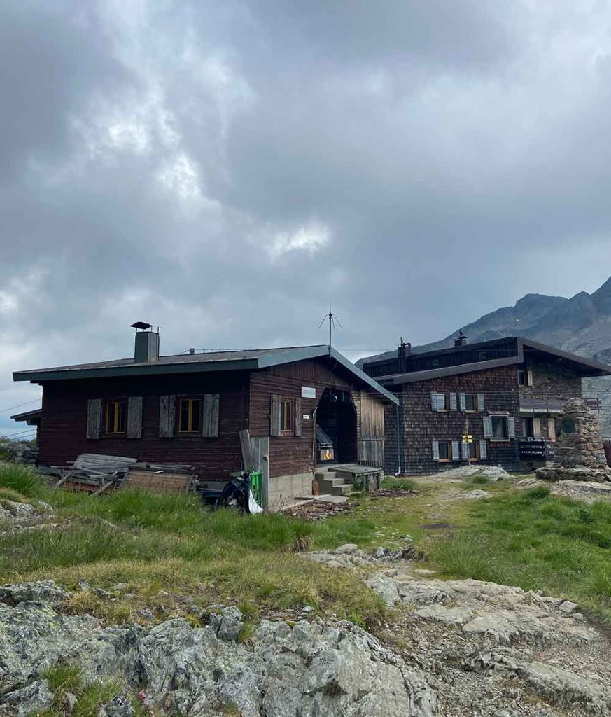
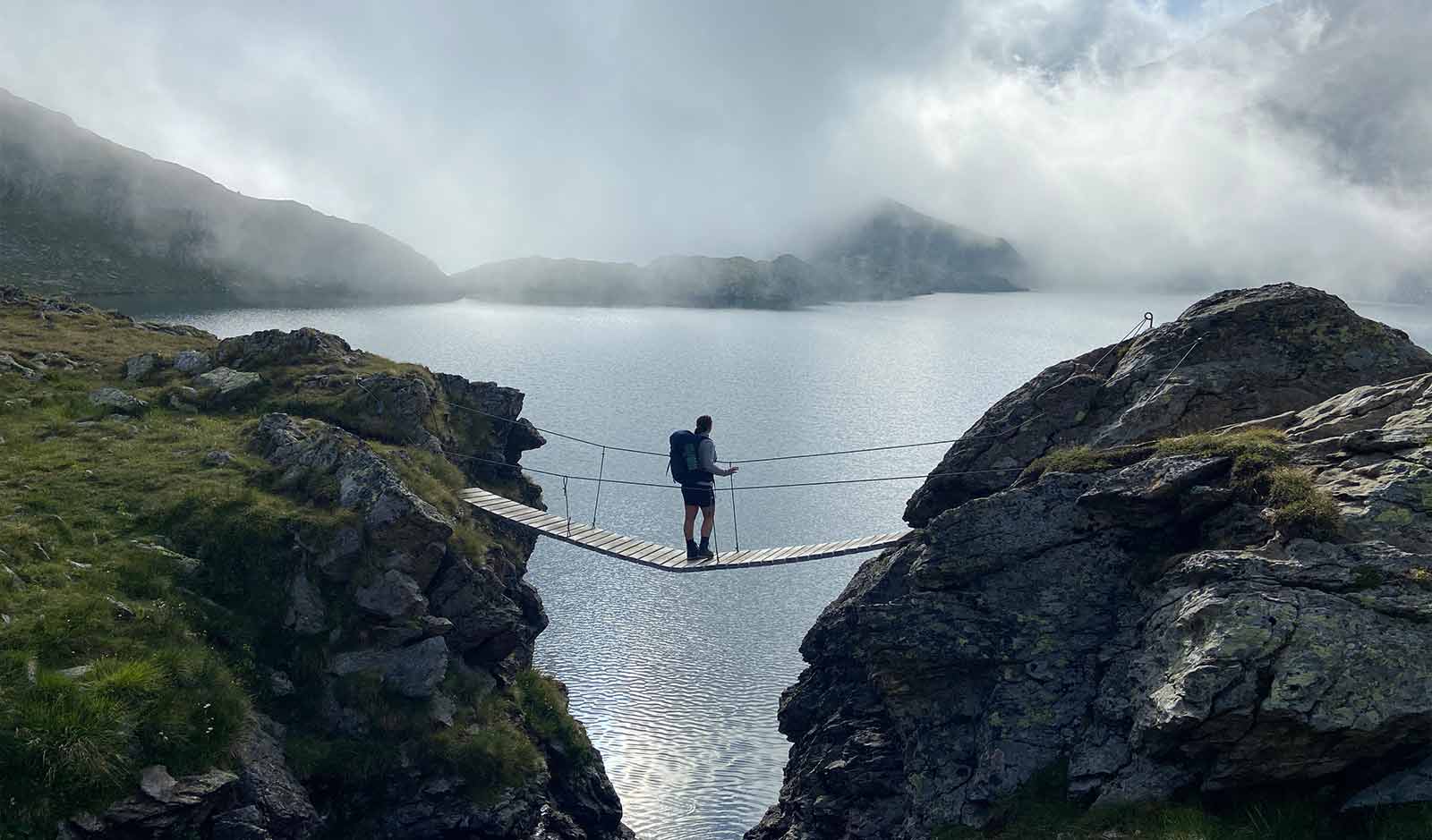
The eighth stage lead us through the wild heart of the impressive Schobergruppe. Over coarse boulders we climbed from the Elberfelder Hütte up to the Hornscharte (2.958m), which is rich in views. On lonely paths downwards we reached the Nossberger Hütte (2.488m) where we enjoyed the most probably best blueberry Kaiserschmarrn I have ever tasted! We then hiked across across big rocks up to the Hohe Gradenscharte (2.803m). Before we head down to our destination, the Wangenitzseehütte, we also cross the Kreuzeeschartl (2.810m) from where we can overlook the valley with the Wangenitzseehütte, the deep blue Wangenitzsee and Kreuzsee.
The accomodation was very nice and the food simple but good 🙂 great last evening before we head out for our last day of this hike.
Summary
- 950 m
- 810 m
- 12,6 km
- 5:00 h
Food @Nossberger Hütte
Accomodation @Elberfelder Hütte
includes breakfast
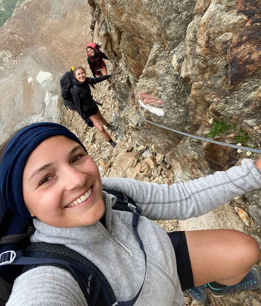
Stage 9 / Day 9: Wangenitzseehütte – Lienz
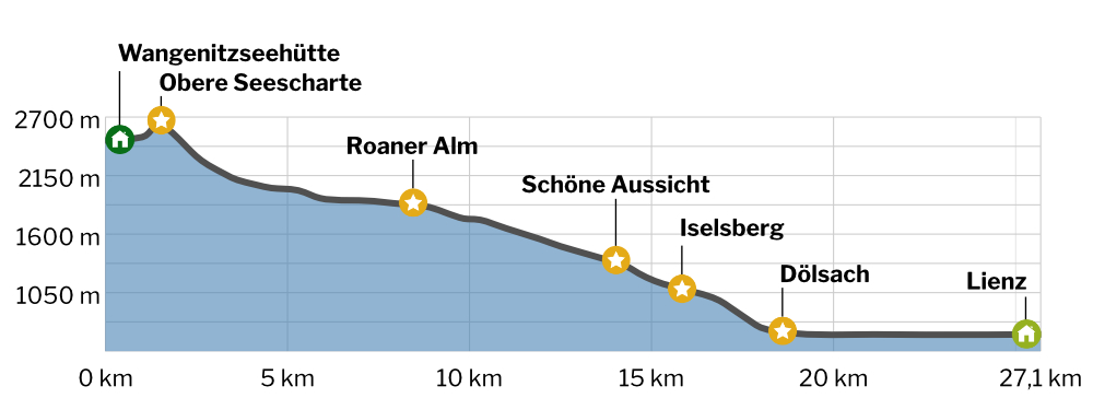
Day nine and thus the last stage on the alpine crossing Berchtesgaden – Lienz! Early in the morning we climbed from the Wangenitzsee hut up to the Obere Seescharte. After a short, exposed section of trail, we began the lengthy descent to the Lienz valley floor. The last kilometers we hiked along the banks of the Drava River, before we could enjoy the southern flair at the Lienz main market with a well deserved ice cream!
Summary
- 140 m
- 2060 m
- 27,1 km
- 8:05 h
Lunch @Winklerhütte
salad and apple juice
Final thoughts
I will remember this impressive hike for a long time. Diverse landscapes, fun hut evenings, extraordinary nature and despite the efforts a lot of peace and relaxation. All this makes the alpine crossing Berchtesgaden – Lienz a unique experience. And a real insider tip!
